NebraskaState outlook
Eight days at a glance
Select a date to exploreWednesday, Oct 28, 2026
In parts of the state
Marginal Risk
severe risk levels
The SPC outlook places parts of the state in a marginal risk of severe thunderstorms.
Across this outlook
The highest categorical risk in parts of the state is marginal risk on Oct 28
See the full outlookNebraska outlook
SPC Day 1 outlook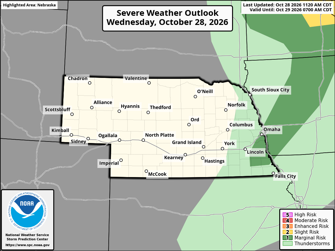
Official SPC partner outlook for Nebraska and surrounding areas. The full official legend and issuance are preserved. View the national map ↗
About this outlook
Latest published outlook dataset. The fetched time records when this dataset was acquired. SPC issue and validity times describe each forecast.
- Fetched
- Oct 28, 2026, 6:37 PM CDT
- Partner map updated
- Oct 28, 2026, 11:24 AM CDT
- SPC issued
- Oct 28, 2026, 2:57 PM CDT
- Valid from
- Oct 28, 2026, 3:00 PM CDT
- Valid until
- Oct 29, 2026, 7:00 AM CDT
Original SPC partner graphic saved with this published outlook. Its printed dates and legend are preserved.
View the official SPC source ↗Across Nebraska
The state answer uses the complete reviewed state boundary, not the highest risk among its listed cities.
Available city pages for this published outlook; the state result covers the whole state.
Thursday, Oct 29, 2026
In parts of the state
Thunderstorms
Thunderstorms are possible in parts of the state, but no severe weather category is shown. This is not a guarantee that severe weather cannot occur.
Across this outlook
The highest categorical risk in parts of the state is marginal risk on Oct 28
See the full outlookNebraska outlook
SPC Day 2 outlook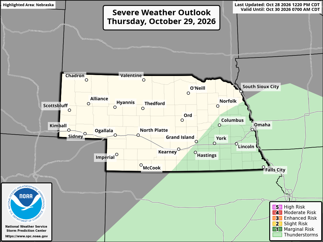
Official SPC partner outlook for Nebraska and surrounding areas. The full official legend and issuance are preserved. View the national map ↗
About this outlook
Latest published outlook dataset. The fetched time records when this dataset was acquired. SPC issue and validity times describe each forecast.
- Fetched
- Oct 28, 2026, 6:37 PM CDT
- Partner map updated
- Oct 28, 2026, 12:23 PM CDT
- SPC issued
- Oct 28, 2026, 12:20 PM CDT
- Valid from
- Oct 29, 2026, 7:00 AM CDT
- Valid until
- Oct 30, 2026, 7:00 AM CDT
Original SPC partner graphic saved with this published outlook. Its printed dates and legend are preserved.
View the official SPC source ↗Across Nebraska
The state answer uses the complete reviewed state boundary, not the highest risk among its listed cities.
Available city pages for this published outlook; the state result covers the whole state.
Friday, Oct 30, 2026
In parts of the state
Thunderstorms
Thunderstorms are possible in parts of the state, but no severe weather category is shown. This is not a guarantee that severe weather cannot occur.
Across this outlook
The highest categorical risk in parts of the state is marginal risk on Oct 28
See the full outlookNebraska outlook
SPC Day 3 outlook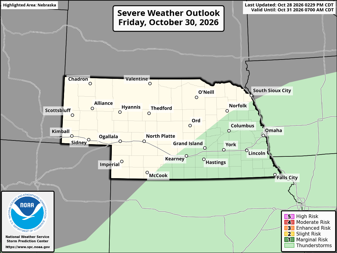
Official SPC partner outlook for Nebraska and surrounding areas. The full official legend and issuance are preserved. View the national map ↗
About this outlook
Latest published outlook dataset. The fetched time records when this dataset was acquired. SPC issue and validity times describe each forecast.
- Fetched
- Oct 28, 2026, 6:37 PM CDT
- Partner map updated
- Oct 28, 2026, 2:32 PM CDT
- SPC issued
- Oct 28, 2026, 2:29 PM CDT
- Valid from
- Oct 30, 2026, 7:00 AM CDT
- Valid until
- Oct 31, 2026, 7:00 AM CDT
Original SPC partner graphic saved with this published outlook. Its printed dates and legend are preserved.
View the official SPC source ↗Across Nebraska
The state answer uses the complete reviewed state boundary, not the highest risk among its listed cities.
Available city pages for this published outlook; the state result covers the whole state.
Saturday, Oct 31, 2026
Status for the whole day
Potential Too Low
The potential for organized severe storms is too low for SPC to draw a 15% or 30% area for this day. This does not rule out severe weather.
This is a status for the entire Storm Prediction Center outlook that day, not a measured local probability.
Across this outlook
The highest categorical risk in parts of the state is marginal risk on Oct 28
See the full outlookNebraska outlook
SPC Day 4 outlook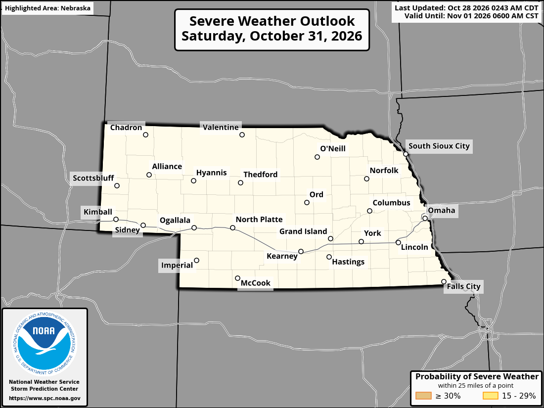
Official SPC partner outlook for Nebraska and surrounding areas. The full official legend and issuance are preserved. View the national map ↗
About this outlook
Latest published outlook dataset. The fetched time records when this dataset was acquired. SPC issue and validity times describe each forecast.
- Fetched
- Oct 28, 2026, 6:37 PM CDT
- Partner map updated
- Oct 28, 2026, 2:46 AM CDT
- SPC issued
- Oct 28, 2026, 2:43 AM CDT
- Valid from
- Oct 31, 2026, 7:00 AM CDT
- Valid until
- Nov 1, 2026, 6:00 AM CST
Original SPC partner graphic saved with this published outlook. Its printed dates and legend are preserved.
View the official SPC source ↗Across Nebraska
The state answer uses the complete reviewed state boundary, not the highest risk among its listed cities.
Available city pages for this published outlook; the state result covers the whole state.
Sunday, Nov 1, 2026
Status for the whole day
Potential Too Low
The potential for organized severe storms is too low for SPC to draw a 15% or 30% area for this day. This does not rule out severe weather.
This is a status for the entire Storm Prediction Center outlook that day, not a measured local probability.
Across this outlook
The highest categorical risk in parts of the state is marginal risk on Oct 28
See the full outlookNebraska outlook
SPC Day 5 outlook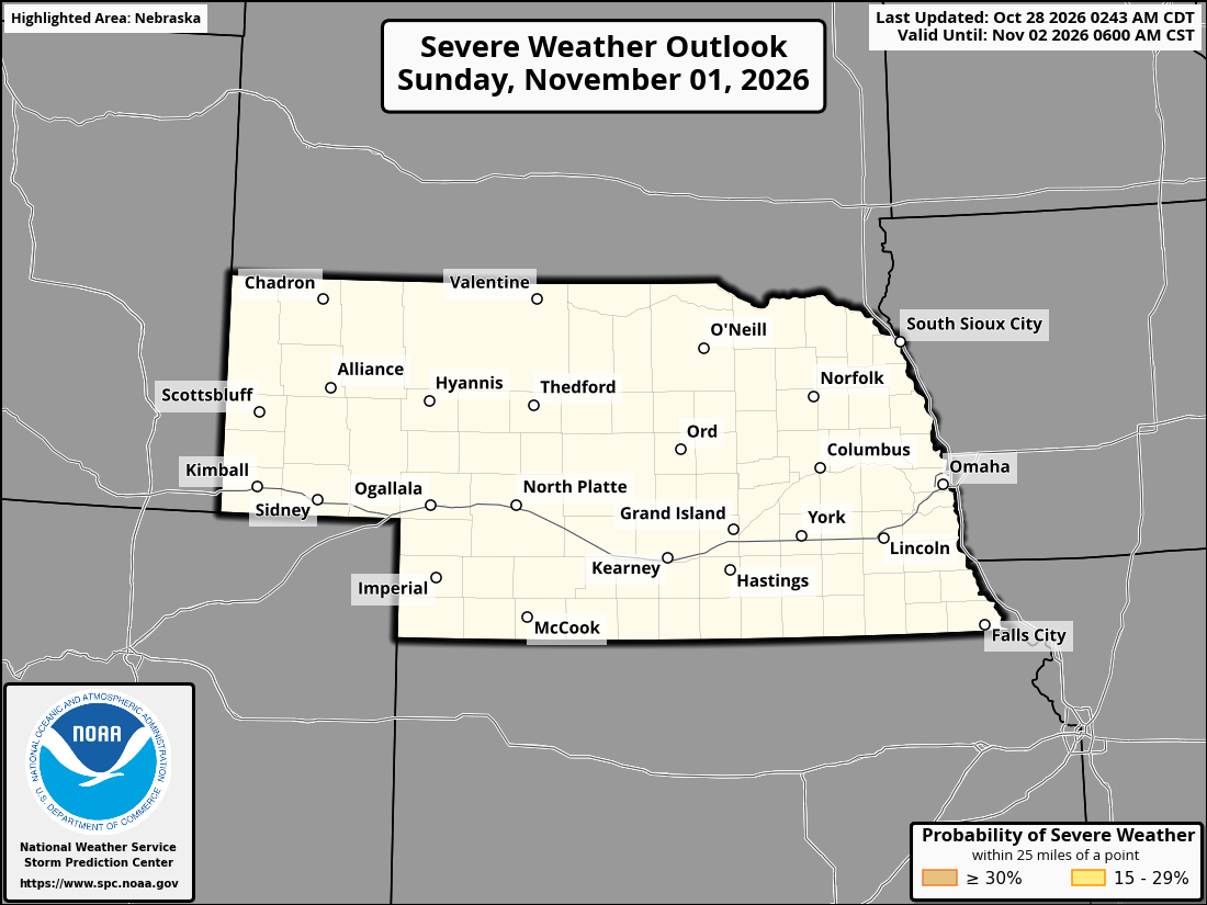
Official SPC partner outlook for Nebraska and surrounding areas. The full official legend and issuance are preserved. View the national map ↗
About this outlook
Latest published outlook dataset. The fetched time records when this dataset was acquired. SPC issue and validity times describe each forecast.
- Fetched
- Oct 28, 2026, 6:37 PM CDT
- Partner map updated
- Oct 28, 2026, 2:48 AM CDT
- SPC issued
- Oct 28, 2026, 2:43 AM CDT
- Valid from
- Nov 1, 2026, 6:00 AM CST
- Valid until
- Nov 2, 2026, 6:00 AM CST
Original SPC partner graphic saved with this published outlook. Its printed dates and legend are preserved.
View the official SPC source ↗Across Nebraska
The state answer uses the complete reviewed state boundary, not the highest risk among its listed cities.
Available city pages for this published outlook; the state result covers the whole state.
Monday, Nov 2, 2026
Status for the whole day
Predictability Too Low
There is too much uncertainty for SPC to draw a 15% or 30% severe weather area for this day.
This is a status for the entire Storm Prediction Center outlook that day, not a measured local probability.
Across this outlook
The highest categorical risk in parts of the state is marginal risk on Oct 28
See the full outlookNebraska outlook
SPC Day 6 outlook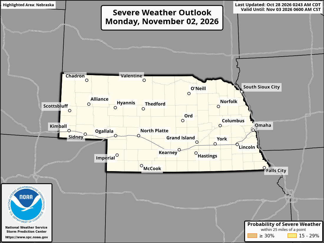
Official SPC partner outlook for Nebraska and surrounding areas. The full official legend and issuance are preserved. View the national map ↗
About this outlook
Latest published outlook dataset. The fetched time records when this dataset was acquired. SPC issue and validity times describe each forecast.
- Fetched
- Oct 28, 2026, 6:37 PM CDT
- Partner map updated
- Oct 28, 2026, 2:50 AM CDT
- SPC issued
- Oct 28, 2026, 2:43 AM CDT
- Valid from
- Nov 2, 2026, 6:00 AM CST
- Valid until
- Nov 3, 2026, 6:00 AM CST
Original SPC partner graphic saved with this published outlook. Its printed dates and legend are preserved.
View the official SPC source ↗Across Nebraska
The state answer uses the complete reviewed state boundary, not the highest risk among its listed cities.
Available city pages for this published outlook; the state result covers the whole state.
Tuesday, Nov 3, 2026
Status for the whole day
Predictability Too Low
There is too much uncertainty for SPC to draw a 15% or 30% severe weather area for this day.
This is a status for the entire Storm Prediction Center outlook that day, not a measured local probability.
Across this outlook
The highest categorical risk in parts of the state is marginal risk on Oct 28
See the full outlookNebraska outlook
SPC Day 7 outlook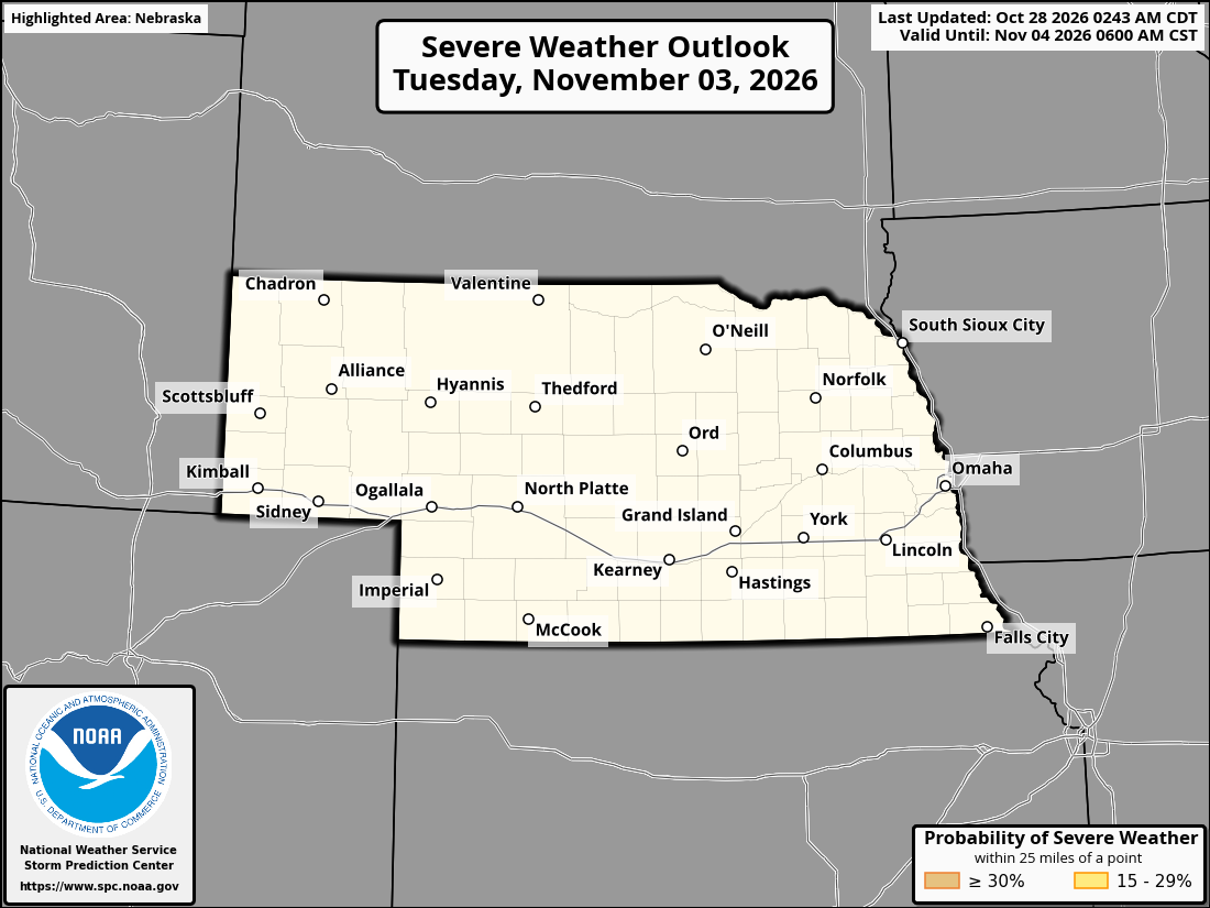
Official SPC partner outlook for Nebraska and surrounding areas. The full official legend and issuance are preserved. View the national map ↗
About this outlook
Latest published outlook dataset. The fetched time records when this dataset was acquired. SPC issue and validity times describe each forecast.
- Fetched
- Oct 28, 2026, 6:37 PM CDT
- Partner map updated
- Oct 28, 2026, 2:51 AM CDT
- SPC issued
- Oct 28, 2026, 2:43 AM CDT
- Valid from
- Nov 3, 2026, 6:00 AM CST
- Valid until
- Nov 4, 2026, 6:00 AM CST
Original SPC partner graphic saved with this published outlook. Its printed dates and legend are preserved.
View the official SPC source ↗Across Nebraska
The state answer uses the complete reviewed state boundary, not the highest risk among its listed cities.
Available city pages for this published outlook; the state result covers the whole state.
Wednesday, Nov 4, 2026
Status for the whole day
Predictability Too Low
There is too much uncertainty for SPC to draw a 15% or 30% severe weather area for this day.
This is a status for the entire Storm Prediction Center outlook that day, not a measured local probability.
Across this outlook
The highest categorical risk in parts of the state is marginal risk on Oct 28
See the full outlookNebraska outlook
SPC Day 8 outlook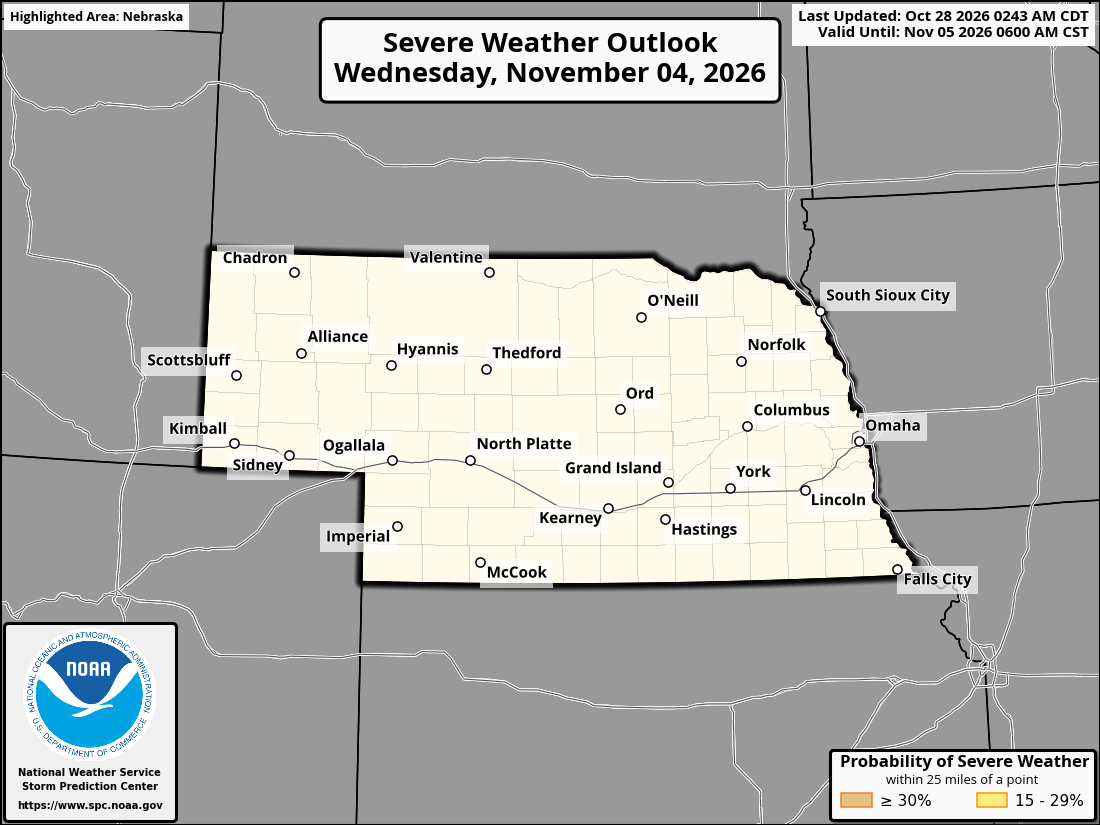
Official SPC partner outlook for Nebraska and surrounding areas. The full official legend and issuance are preserved. View the national map ↗
About this outlook
Latest published outlook dataset. The fetched time records when this dataset was acquired. SPC issue and validity times describe each forecast.
- Fetched
- Oct 28, 2026, 6:37 PM CDT
- Partner map updated
- Oct 28, 2026, 2:53 AM CDT
- SPC issued
- Oct 28, 2026, 2:43 AM CDT
- Valid from
- Nov 4, 2026, 6:00 AM CST
- Valid until
- Nov 5, 2026, 6:00 AM CST
Original SPC partner graphic saved with this published outlook. Its printed dates and legend are preserved.
View the official SPC source ↗Across Nebraska
The state answer uses the complete reviewed state boundary, not the highest risk among its listed cities.
Available city pages for this published outlook; the state result covers the whole state.
The full eight-day outlook
Nebraska · 2026
Another place in mind?
Browse by state to find every city.
Color has a meaning.
Five categories describe increasing severe weather risk. Thunderstorms sit outside that five-level scale. Extended outlooks use probability areas or a status for the day.